Home | Grade 3 Girls | Firenze | Kings and Queens | Antigone | Tutte | Marvel | Sydney Metromap | Pitchfork
|
|
Geo-referenced networks
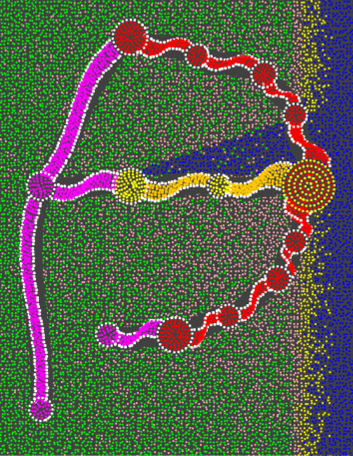
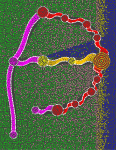
Geo-referenced data sets provide some of the most challenging network visualization problems. APY dot paintings often depict geo-referenced networks. This picture shows an abstraction of the planned Sydney metro system. There are three types of edges shown by different colours: the existing line, a line under construction, and planned lines. Geographic features (the land, the sea, the harbour) are shown in in the background.
|